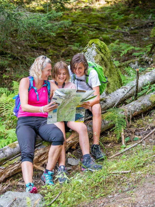
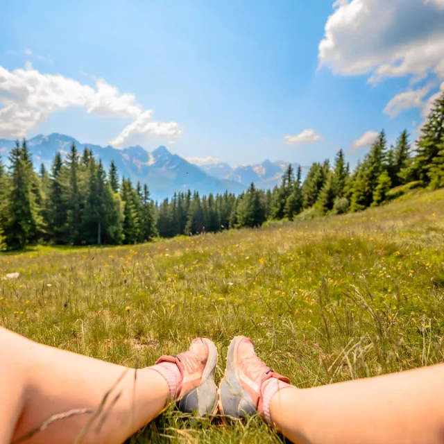
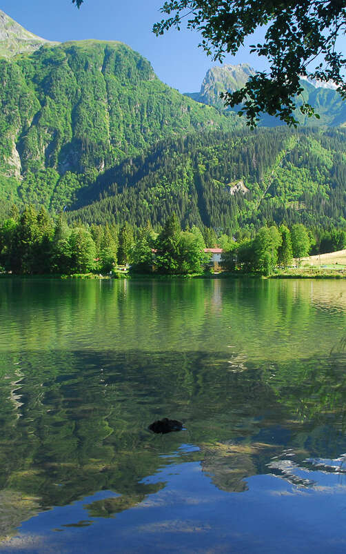
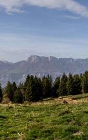
Uriage-les-Bains is also a popular destination for hikers and trail runners. From Saint-Martin-d’Uriage or Vaulnaveys-le-Haut, several signposted routes take you through forests, clearings and wooded ridges, to discover unspoilt nature.
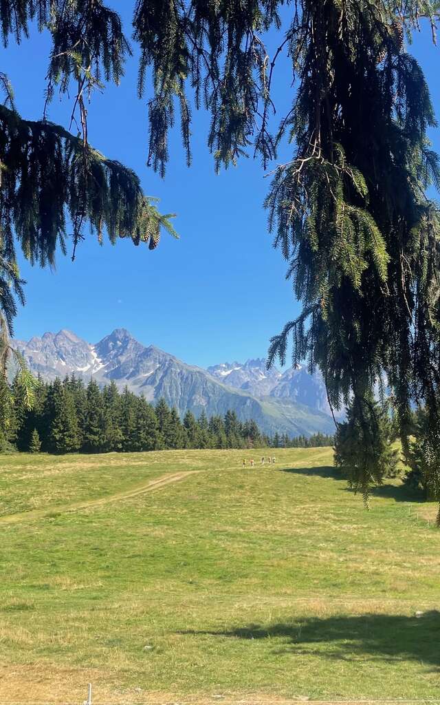
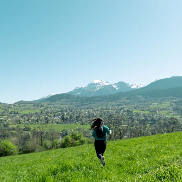
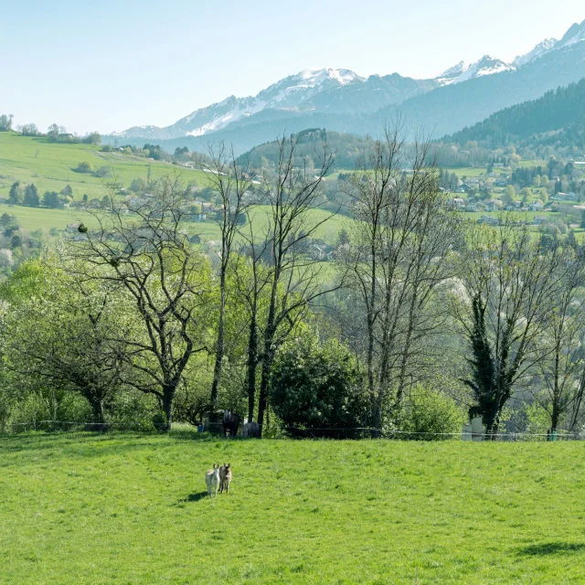
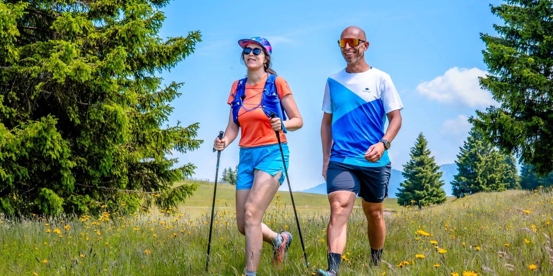 Two runners in Uriage - Emma
 Trailsin Uriage-les-Bains
A selection of trail routes starting from Uriage
Les SeiglièresTrail
Distance: 5.2 km
Difference in altitude: 250 m D+ / 250 m D-
Start: Saint-Martin-d’Uriage
Altitude: between 1023 m and 1181 m
This loop trail, accessible from the Seiglières sector, offers a fast-paced walk through the wooded landscapes at altitude.
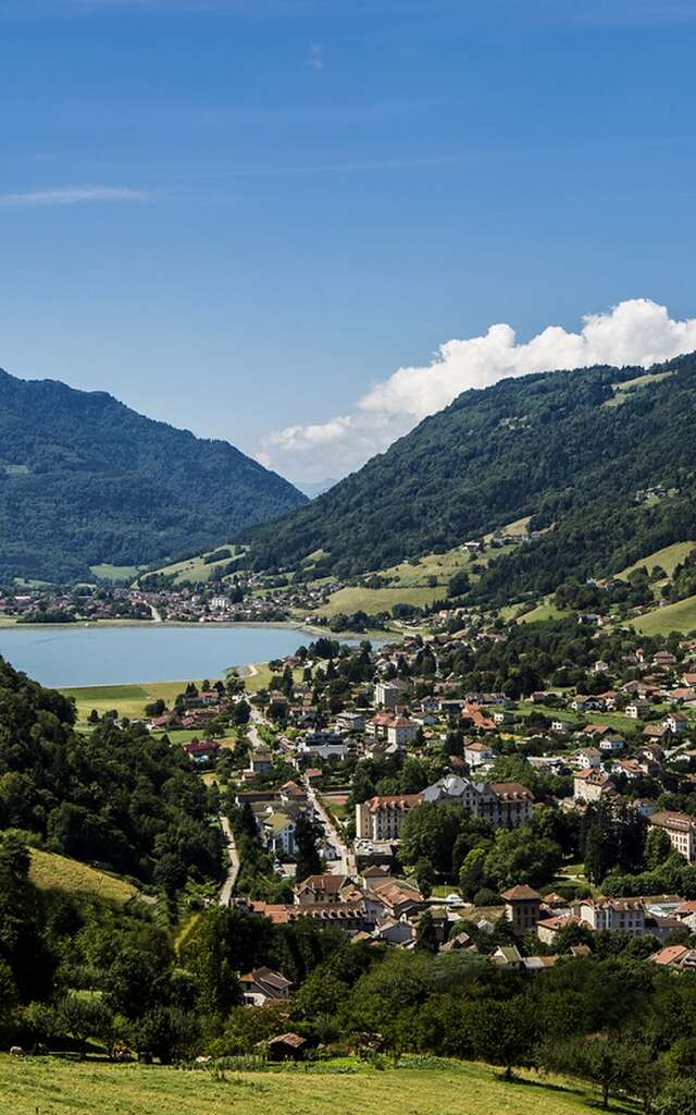
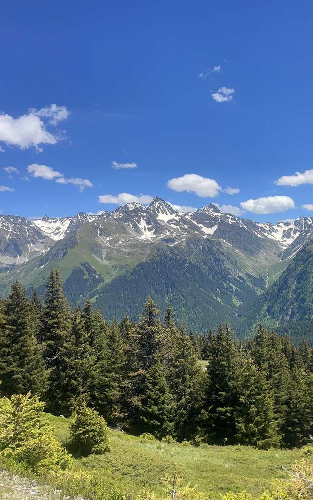
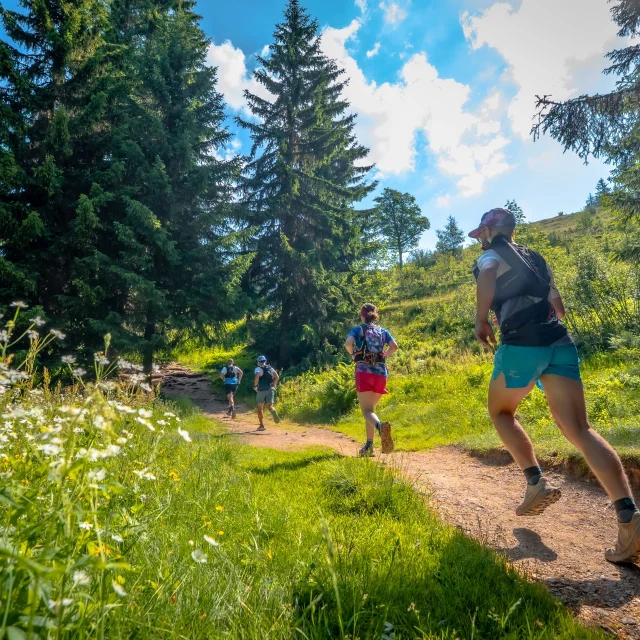 Trail Belledonne Chartreuse Isère
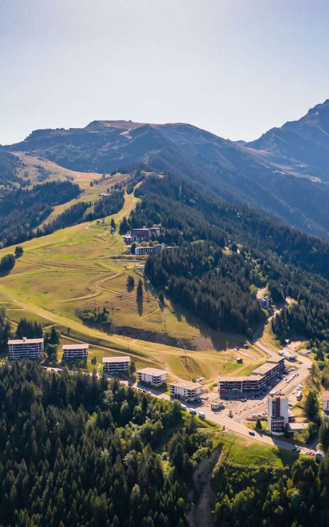
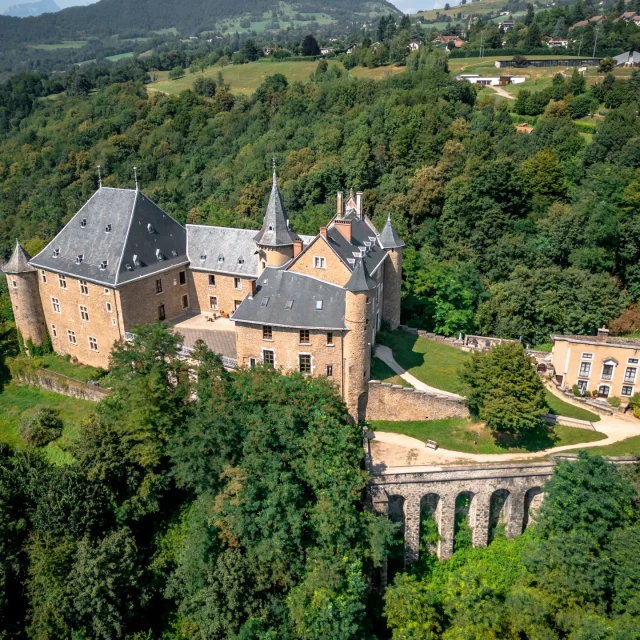 Château d'Uriage by drone - aerial view
 Le ChâteauTrail Uriage
Distance: 5.8 km
Difference in altitude: 270 m D+ / 270 m D-
Start: Saint-Martin-d’Uriage
Altitude: between 379 m and 590 m
Departing from the spa park, this route takes you to the outskirts of the Château d’Uriage, through open woods and shady paths. The gradient is gradual, making it ideal for a short outing with a few good climbs.
Les Seiglières - La Gafe - Les Clots - Étang des Marais ChaudsTrail
Distance: 10.2 km
Difference in altitude: 390 m D+ / 390 m D-
Start: Saint-Martin-d’Uriage
Altitude: between 1030 m and 1269 m
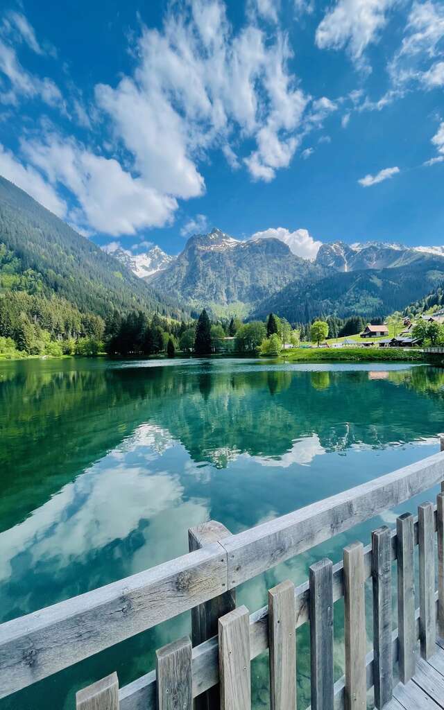
This varied route winds through hamlets, forests and alpine meadows. The passage through the Marais Chauds pond offers a lovely nature break in the middle of the loop. This itinerary is much appreciated for its diversity of landscapes.
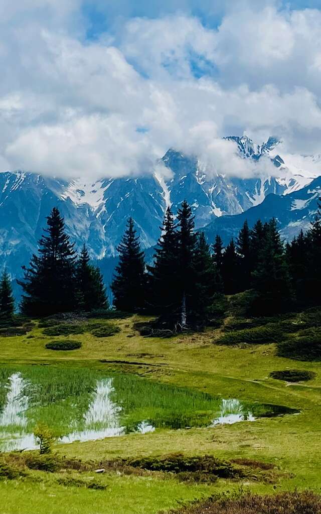
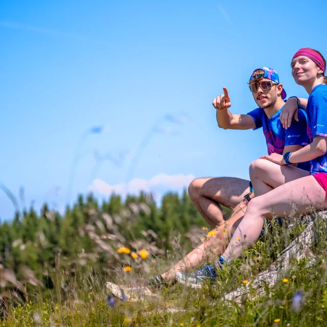 Contemplation Trail Belledonne Chartreuse Isère
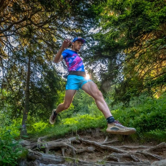 Trail Belledonne Chartreuse Isère
Le Sonnant - Le Buisson - La GrivoléeTrail
Distance: 11.2 km
Difference in altitude: 600 m D+ / 600 m D-
Start: Saint-Martin-d’Uriage
Altitude: between 379 m and 909 m
This more technical route follows forest paths up towards Le Sonnant. The return via La Grivolée offers a variety of terrain, with rolling sections and steeper ones.
Pinet - Seiglières - Marais des SeiglièresTrail Uriage
Distance: 16.5 km
Difference in altitude: 900 m D+ / 900 m D-
Start: Saint-Martin-d’Uriage
Altitude: between 379 m and 1143 m
For runners looking for a challenge, this complete route links Uriage to the Plateau des Seiglières via the hamlet of Le Pinet. The climb is steep, followed by a panoramic section before reaching the wetlands of the Marais des Seiglières.
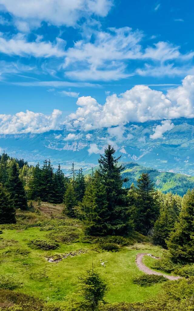
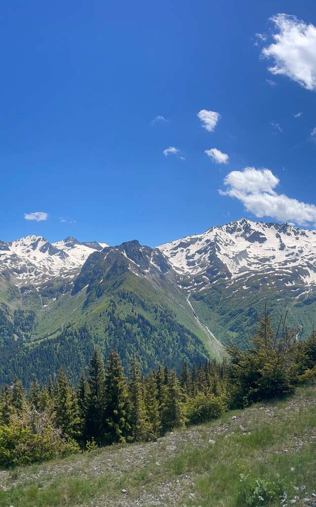
 Hiking Belledonne Chartreuse Isère
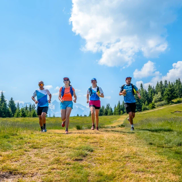 Trail Belledonne Chartreuse Isère
Les Seiglières - Casserousse - Vernon - Étang des Marais ChaudsTrail
Distance: 14.8 km
Difference in altitude: 740 m D+ / 740 m D-
Start: Saint-Martin-d’Uriage
Altitude: between 1030 m and 1504 m
This trail is one of the most alpine itineraries, starting at Les Seiglières and taking in the views. It climbs gradually to the Casserousse sector, overlooking the Grenoble basin, before descending to Vernon and the Marais Chauds pond.


Itineraries between mountains and heritage
Whether you’re an experienced runner or a curious walker, the routes around Les Seiglières, the Château d’Uriage or the lakes invite you to take a breath of fresh air… with a view!
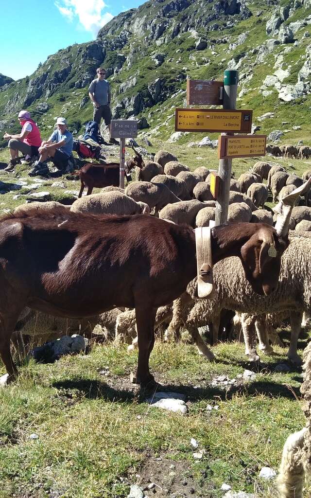
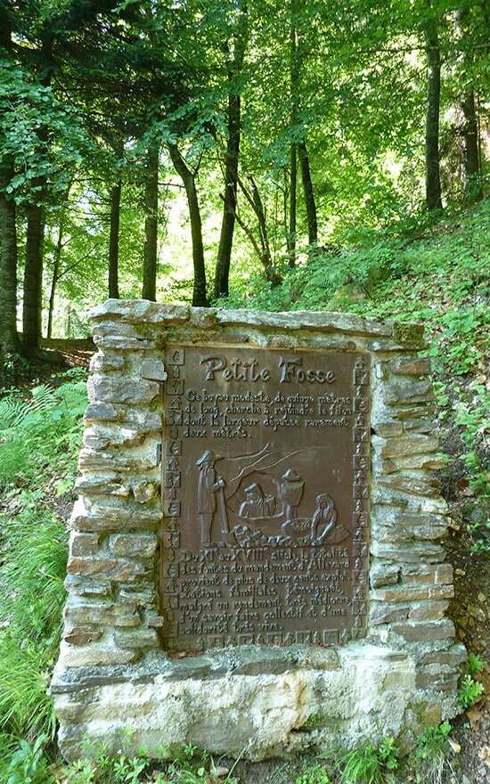
As well as wooded landscapes and views of the Belledonne mountain range, the Uriage trails take you through an area steeped in history, with high altitude hamlets and local biodiversity.
Good to know:
The routes are signposted and maintained, but we recommend that you set off with good shoes, water and a map or navigation app. The weather can change rapidly at altitude.
Don’t hesitate to check out the other walks starting from Uriage-les-Bains, or contact the Uriage-les-Bains Tourist Office if necessary!
 Uriage Randonnée Crêtes - Marie El Hajal
 Our advice for preparing your trail outing in Uriage-les-Bains
To get the most out of the routes on offer, you can consult the tracks on platforms such as Trace de Trail.
This will allow you to :
- View the routes on an interactive map
- Follow the routes in real time via GPS
- Access a calendar of local races
- Search for other trails by level or duration
- Save your ride preferences
Additional information on each route is also available on certain routes.
 Uriage Randonnée des Crêtes - Marie El Hajal