Col de Chamrousse - mountain pass

  • Sport
  • Cycling sports
  • Cycle tourism route
Elevation : 413m
départ, avenue du Golf, 38410 Vaulnaveys-le-Haut

Description

Start out from Uriage-les-Bains where the marked ascent to Col de Chamrousse follows the last 19 km of the 13th stage of the 2014 Tour de France that started in Saint-Étienne.
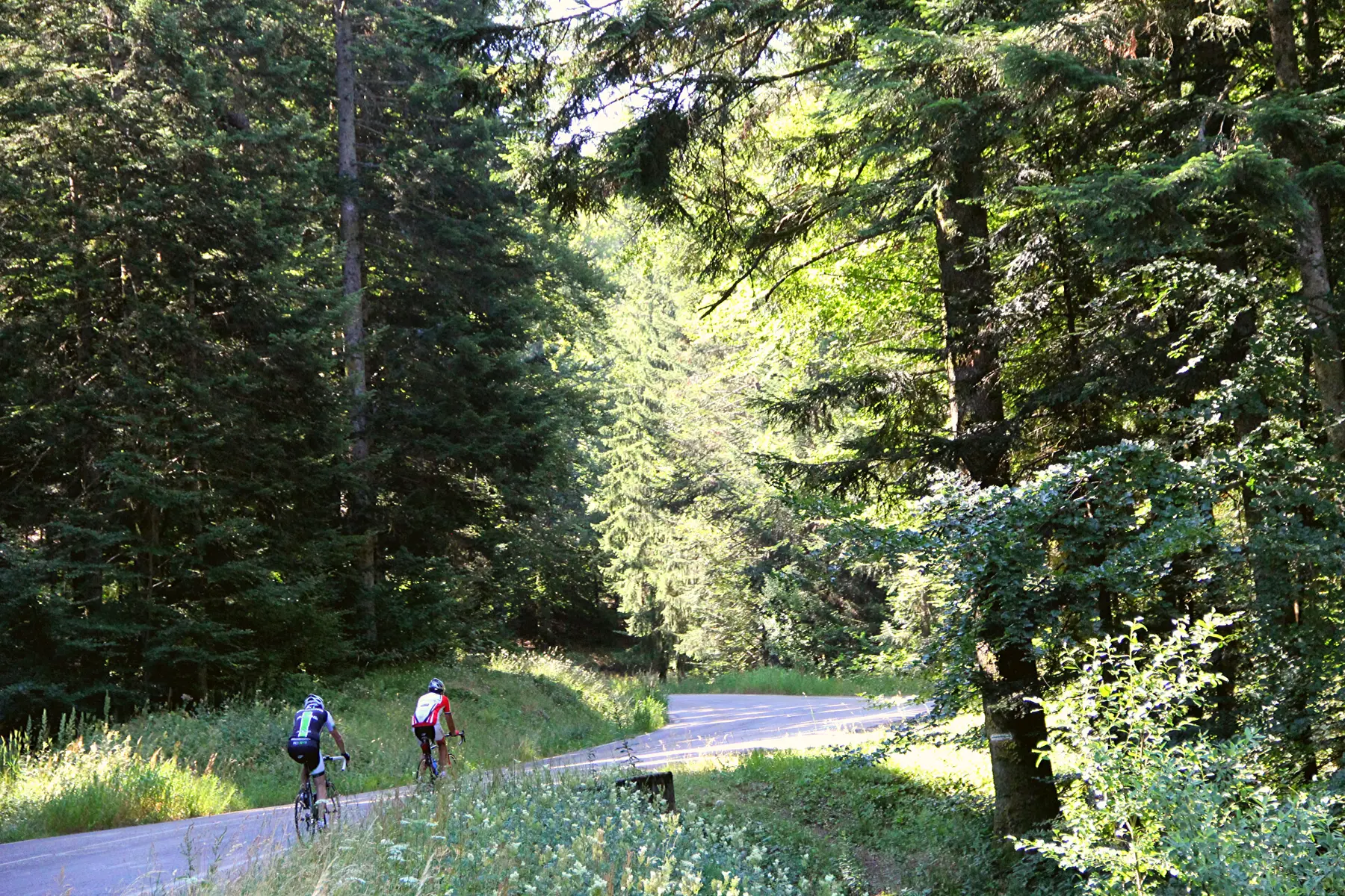
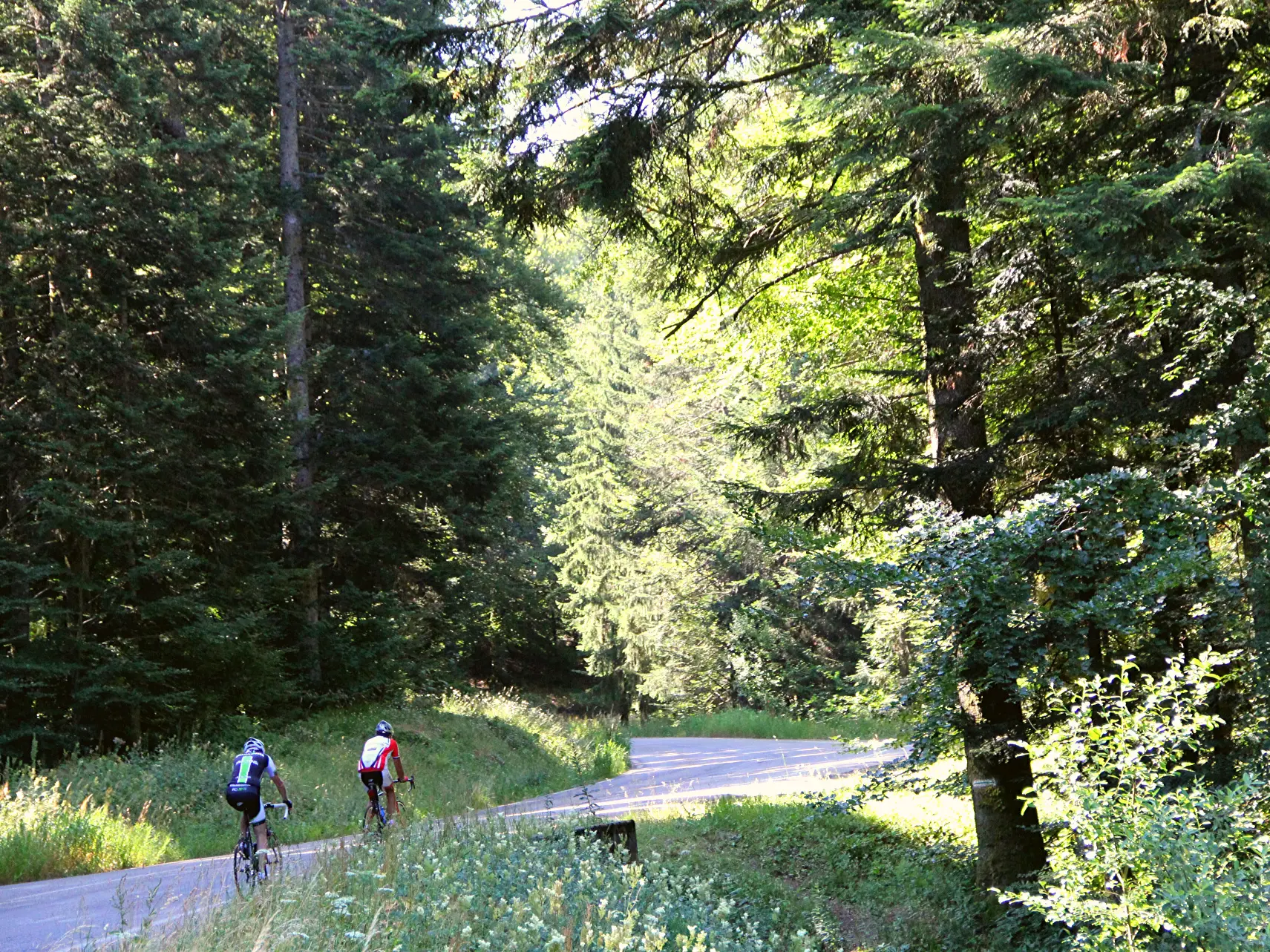
A long, steady climb in the shade of the fir trees.
  • Guidebook with maps/step-by-step
    At the roundabout near Uriage golf course, take the D111 to Chamrousse. On arrival in Chamrousse near Roche Béranger - Chamrousse 1750, turn right onto Rue des Essendolles then continue along Avenue du Père Tasse to Chamrousse pass at an altitude of 1,795 m.


Further information on localisation

Further information on localisation
Several public transport lines serve Uriage from Grenoble: - regular bus service: N93 (to/from Grenoble) [merger of former bus lines T87, Transaltitude]. - seasonal bus service (summer and winter): Destination neige ou nature [former Skibus / Estibus 707] Vehicles on these routes are equipped with bike racks. Please enquire in advance.

Plain text period

From 01/05 to 31/10 daily.

Subject to favorable weather.

Environment

  • Mountain location
  • Ski resort
Updated on 24 August 2026 at 11:10
by Isère Attractivité
(Offer identifier : 5455090)
Report mistake
Filter search
Page types
  • All
  • Articles
  • Agenda
  • Lists